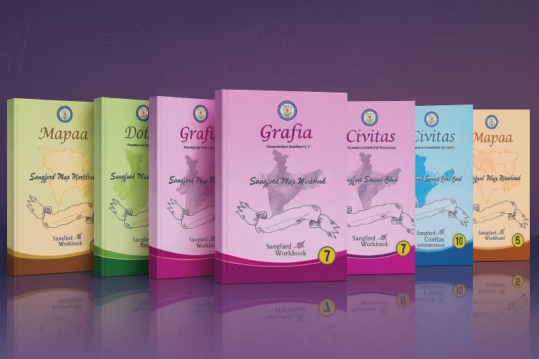
Social Science & Geography Mapping Series
This series transforms social science from memorization-heavy study into engaging, applied learning — helping students retain concepts longer, reduce last-minute exam stress, and improve subject-wise averages in assessments and board exams.
Core Features:
Descriptive Map Book Integration: Every chapter is linked to visual, location-based mapping activities, helping students connect historical events and cultural developments to real-world geography.
Interactive, Concept-Based Activities: Lessons encourage critical thinking, discussion, and contextual learning, moving beyond textbook recall.
Real-Time Progress Tracking: Track spatial awareness, concept mastery, and application skills through data-driven assessments.
With Sangford’s Social Science & Geography Series, schools create engaged, critically aware students, improving both academic results and real-world knowledge application in social sciences.
ISBN: 978-81-982413-2-0
Edition: Part of a 3-Book Series (Grades 3–5)
Author: Sivakumar Narayanasamy
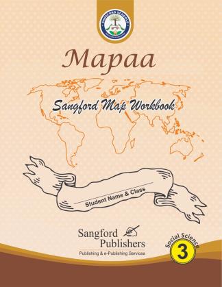
Series Title: Mapaa – Exploratory Mapping Series (Grades 3–5)
Mapaa is a descriptive mapping workbook series designed to build geographic literacy, spatial thinking, and visual memory in students from Grades 3 to 5. These activity-based books integrate social science concepts with hands-on map practice, encouraging learners to observe, locate, and connect. Mapaa transforms passive map learning into an active exploration tool— bridging textbook theory and real-world geography.
Key Features:
Covers India Political Map, India River Map, World Outline Map, World Political Map, and region-specific maps (e.g., Africa, Antarctica, Continents)
Interactive exercises with clear instructions to label, trace, mark, and describe geographic features
Includes key concepts like cardinal directions, poles, hemispheres, and rotational movement
Enhances knowledge of landforms, rivers, continents, and global regions through structured map activities
Supports CBSE and state board Social Science curriculum with age-appropriate complexity
Skills: Spatial awareness, map reading, geographic knowledge, observation, visual memory, and analytical thinking.
ISBN: 978-81-975081-9-6
Edition: Part of a 5-Book Series (Grades 6–10)
Author: Sivakumar Narayanasamy
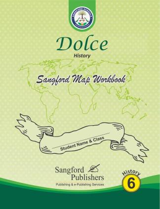
Series Title: Dolce – Historical Thinking & Mapping Series (Grades 6–10)
Dolce is a comprehensive history mapbook series designed to strengthen spatial thinking, historical understanding, and exam readiness for middle and high school students. Each volume blends curriculum-based content with hands-on map activities to bring history to life. Whether preparing for exams or developing real-world social awareness, Dolce equips learners with the tools to think critically, analyze historically, and map meaningfully.
Key Features:
Chapter-wise descriptive and political mapping activities aligned with NCERT/CBSE themes
Timeline charts, mind maps, and problem-solving exercises that reinforce chronological and conceptual clarity
Innovative tools such as string maps, Venn diagrams, dialogue tasks, quizzes, and reciprocal cards
Entrance exam-oriented chapters to build exam strategies and analytical thinking
Supports career guidance modules and social science skill development
Skills: Historical thinking, spatial mapping, timeline analysis, problem-solving, visual reasoning, exam readiness, and conceptual clarity.
ISBN: 978-81-975081-1-0
Edition: Part of a 5-Book Series (Grades 6–10)
Author: Sivakumar Narayanasamy
Series Title: Grafia – Applied Geography Mapping Series (Grades 6–10)
Grafia is a hands-on geography mapbook series that blends descriptive mapping, real-world application, and visual reasoning to strengthen geographic understanding in students from Grades 6 to 10. This workbook empowers learners to connect physical features, climatic patterns, and human-environment interactions through structured map activities.

Key Features:
Covers physical, political, and thematic maps including rivers, mountains, soil types, industries, and rainfall distribution
Emphasizes real-world application with coordinate-based entries, dam release tracking, and rainfall analysis
Includes timeline charts, teacher-guided prompts, and problem-solving map scenarios
Designed to build map interpretation, data visualization, and location-based analytical skills
Aligned with CBSE/State curriculum and ideal for school assessments, Olympiads, and entrance exam prep
Skills: Map reading, spatial reasoning, environmental analysis, visual data interpretation, and location-based problem-solving.
ISBN: 978-81-975081-2-7
Edition: Part of a 5-Book Series (Grades 6–10)
Author: Sivakumar Narayanasamy
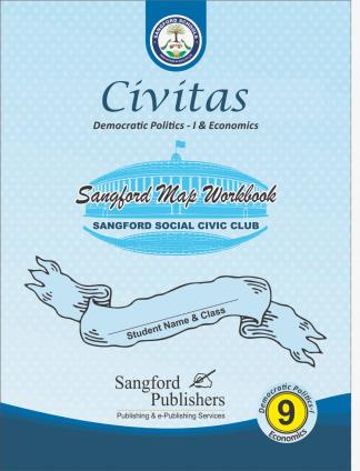
Series Title: Civitas – Democratic Thinking & Civic Mapping Series (Grades 6–10)
Civitas is a unique workbook series that transforms abstract political concepts into visual, interactive learning experiences. Designed for students in Grades 6–10, this series bridges textbook theory and civic understanding through map activities, data-based reasoning, and structured democratic practice.
Key Features:
Map-based activities on political systems, global rights data, citizen representation, and governance structures
Integrates real-world datasets (e.g., patents by country, rights awareness, government types) with visual interpretation tasks
Includes teacher notes, marking rubrics, and student self-assessment space
Encourages critical reflection on democracy, rights, participation, and global citizenship
Suitable for both academic use and citizenship training in school programs
Skills: Civic reasoning, political mapping, global data interpretation, democratic awareness, and rights-based analysis.